Farmer criticizes Andy Burnham's wildfire response, blames environmental rules
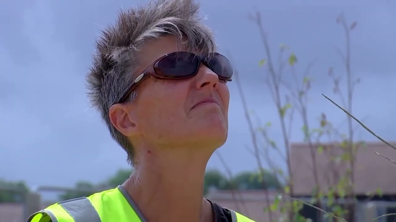
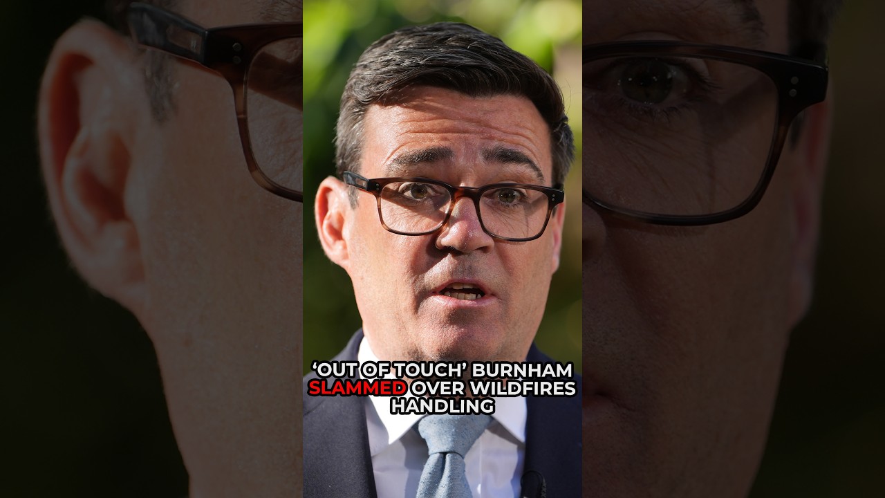
The GB News segment interviews a Windsor farmer affected by recent wildfires who criticizes Prime Minister Andy Burnham's handling of the crisis. He argues environmental rules preventing controlled burning and requiring grass buffers around fields have made the countryside more flammable, questions whether farmers will receive the announced £65 million in drought aid due to bureaucracy, and claims a public emergency text alert will inspire copycat arson for social media attention rather than deter it. He praises local residents and fire brigade response on his farm but calls for a national strategy to integrate farmers' vacuum tankers into firefighting efforts, citing paperwork barriers. The broadcast relies entirely on the unnamed farmer's firsthand account and opinions with no additional guests, government response, or independent data presented. It references the £65m package and a 'notice' sent yesterday but provides no graphics, named sources beyond the interviewee, or context on the scale of the ongoing fires and heatwave.
Source: GBNews